Overview
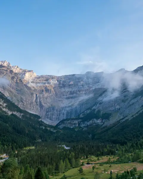
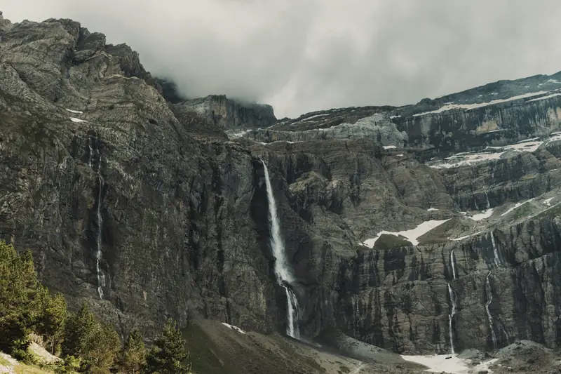
The Cirque de Gavarnie is a natural amphitheatre of rock walls and hanging snowfields at the head of a glacial valley in the French Pyrenees. Its walls rise up to about 1,500 m above the floor, and the Gavarnie Falls, around 422 m high, drop in steps down the cliff. The area is part of the Pyrénées – Mont Perdu UNESCO World Heritage Site, inscribed in 1997.
Most visitors walk from the village of Gavarnie along a wide path through meadows to the foot of the cirque, an easy outing that takes roughly one to one and a half hours each way. Experienced walkers can continue to higher viewpoints or take on the full-day hike to the Brèche de Roland, a gap in the border ridge at about 2,800 m.
Highlights
- The easy valley walk from Gavarnie village to the foot of the cirque
- The Gavarnie Falls, about 422 m high and strongest when the snow melts
- The Brèche de Roland, a rock gap at about 2,800 m on the Spanish border ridge
- The neighbouring cirques of Troumouse and Estaubé, quieter valleys with their own trails
Best time to visit
June to September is the main walking season, when the higher paths are free of snow and the mountain huts are open. The falls run strongest in late spring and early summer as the snow melts, and the flow can be lower in late summer. Outside the season many services in the village close, and snow can cover the paths.
- JanJanuary: Not ideal
- FebFebruary: Not ideal
- MarMarch: Not ideal
- AprApril: Not ideal
- MayMay: Good
- JunJune: Best
- JulJuly: Best
- AugAugust: Best
- SepSeptember: Best
- OctOctober: Good
- NovNovember: Not ideal
- DecDecember: Not ideal
● Best · ○ Good · blank: not ideal. Conditions vary by year, so check local forecasts and access before you go.
Getting there
Fly to Toulouse (TLS), about three to four hours away by road, or take the train to Lourdes and drive roughly an hour and a half from there. Tarbes–Lourdes–Pyrénées airport (LDE) is closer, but has fewer flights. Public transport to Gavarnie is limited, so most visitors drive. The road ends at the village, where parking is paid.
What to expect
An easy, well-marked walk on a wide path, with a gentle climb to the foot of the cirque. Higher routes are steep and need good boots and a clear forecast. The village is small and busy at midday in summer, so go early or stay overnight.
Practical tips
- Start early: afternoon cloud and midday crowds are common in July and August.
- Wear proper footwear even on the valley path; the last stretch is rocky.
- Pack layers and waterproofs, because the air near the cirque is noticeably cooler than in the village.
- Horses and donkeys can be hired in the village in season if you prefer not to walk the whole path.
Frequently asked questions
How long does the walk to the cirque take?
Most visitors need one to one and a half hours each way on the main path from Gavarnie village, plus time to rest at the foot of the walls.
Is it free to visit the Cirque de Gavarnie?
Walking the valley path is free, but parking in the village is paid, and some access roads and services charge fees. Check local information for current charges.
Can I see the waterfall all year?
It flows most strongly in late spring and early summer. In late summer the flow can be lower, and in winter parts of the fall can freeze, so check conditions before you go.
Official sources
Rules, fees, permits and conditions change. Check the official pages below before you travel.
Photos
Last reviewed October 2026. Details are for planning only and can change; confirm access, permits and conditions with official sources before you travel. Spotted something out of date? Tell us. Photography: Cédric Le Bars on Unsplash, Maxence Amé on Unsplash.


