
Overview
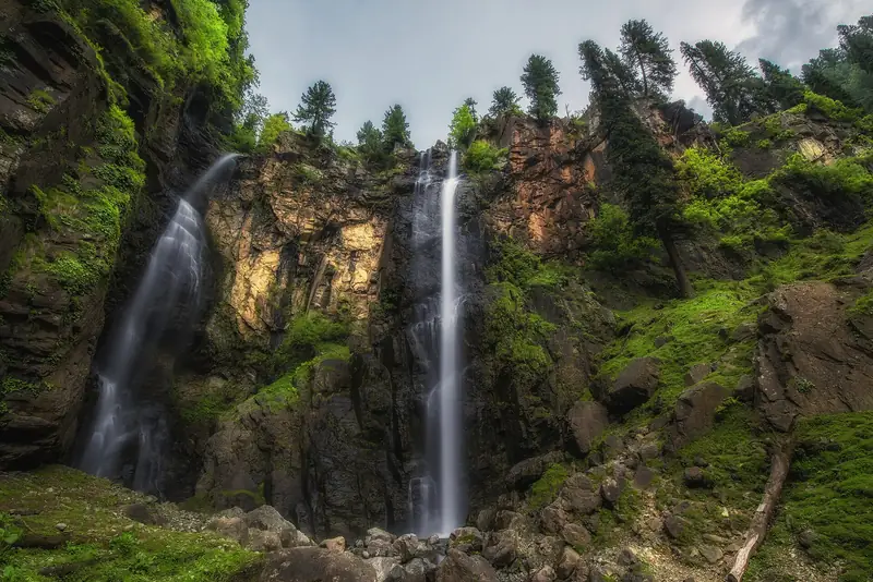
Jarogo Waterfall is one of the best-known waterfalls in the Swat region, in a forested gorge in the Chatekal valley of Matta tehsil. Water drops from a high cliff into a pool of boulders, and in summer the rocks around it are green with moss and fern. Local sources give a height of about 120 m, though the exact figure is not well documented.
It lies about 55 km from Mingora, and the road passes through villages and fields before it reaches the final gorge. The area around the waterfall is pleasant for a picnic, with pine and deodar trees, and it is less visited than the main valley sites. The fall is at its fullest in late spring and summer, when snow in the hills above melts and the rain falls.
Highlights
- A tall, narrow waterfall in a forest gorge
- Moss-covered rocks, ferns and clear pools
- A scenic drive through the Chatekal valley villages
- A quiet picnic stop away from the main Swat road
Best time to visit
May to October is the main season, with the most water from May to July. Autumn is clear and cooler, and winter is cold and icy, when the waterfall can partly freeze and the road may be difficult. After heavy rain, the approach can be muddy or blocked.
- JanJanuary: Not ideal
- FebFebruary: Not ideal
- MarMarch: Not ideal
- AprApril: Good
- MayMay: Best
- JunJune: Best
- JulJuly: Best
- AugAugust: Best
- SepSeptember: Best
- OctOctober: Good
- NovNovember: Not ideal
- DecDecember: Not ideal
● Best · ○ Good · blank: not ideal. Conditions vary by year, so check local forecasts and access before you go.
Getting there
Fly to Islamabad (ISB) and drive to Mingora, about four to five hours. From Mingora, the route goes to Matta and then up a side road through Fazal Banda to the waterfall, a further drive of about two hours in total. A local driver is recommended, as the road is rough in places.
What to expect
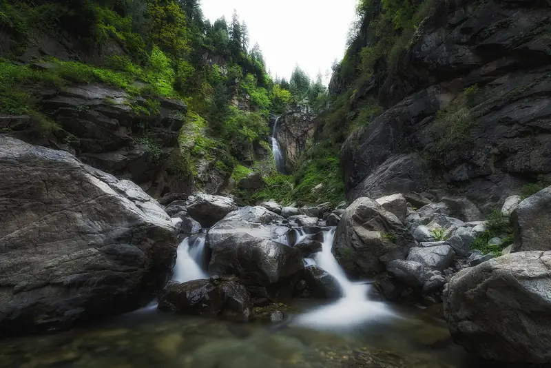
The final approach includes a short walk over uneven ground and boulders, and the rocks are slippery. Services are minimal, so bring water and food. Weather can change quickly in the gorge, and rain raises the danger of flash floods and rockfall.
Practical tips
- Hire a local driver who knows the road, and check conditions after rain.
- Wear shoes with a good grip and take care on wet rocks.
- Do not swim in the pool beneath the falls, because of cold water and strong currents.
- Take your litter away, and ask before photographing local people.
Frequently asked questions
How tall is Jarogo Waterfall?
Local sources give about 120 m, but there is no official figure. It is one of the taller falls in Swat.
How far is it from Mingora?
About 55 km, or around two hours by road, including the final rough section.
When is the waterfall at its best?
Late spring and early summer, when melt and rain give the strongest flow.
Official sources
Rules, fees, permits and conditions change. Check the official pages below before you travel.
Photos
Last reviewed October 2026. Details are for planning only and can change; confirm access, permits and conditions with official sources before you travel. Spotted something out of date? Tell us. Photography: Salman.saif08 (CC BY-SA 4.0) via Wikimedia Commons, Uzair889 (CC BY-SA 4.0) via Wikimedia Commons, Uzair889 (CC BY-SA 4.0) via Wikimedia Commons.


